Targovishte
Explore Targovishte district through its five municipalities, village landscapes, museums and protected places, with a practical starting point for property searches.
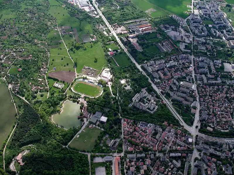
Properties in this district
100 active listings · Targovishte
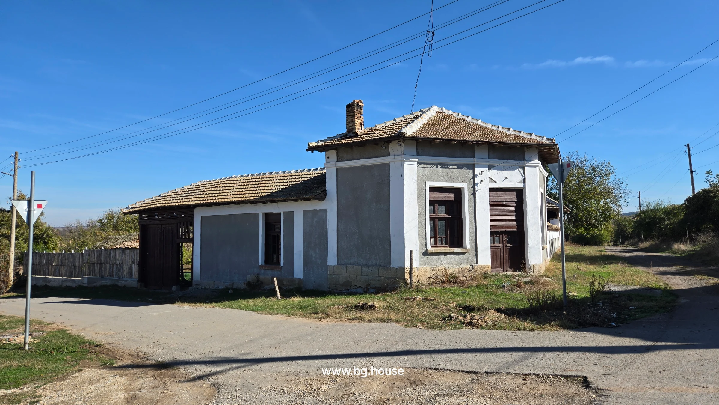
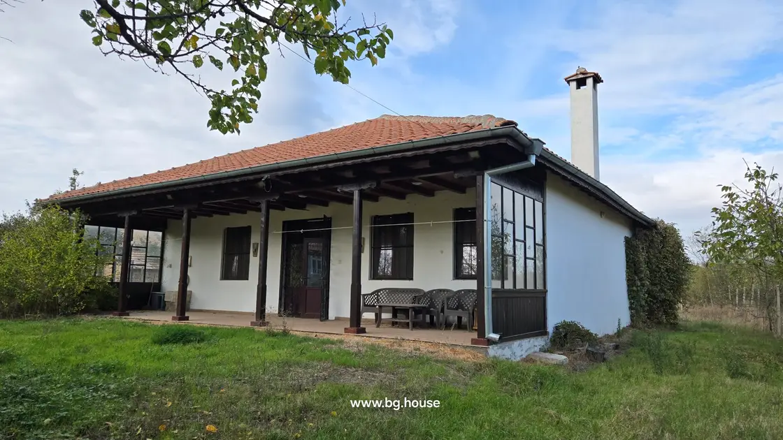
Veranda Retreat - Cosy Village Home in Lomtsi
Lomtsi, Targovishte, Bulgaria
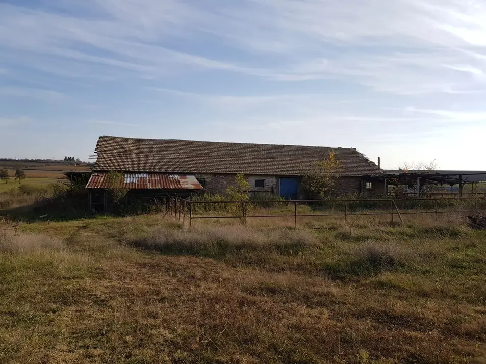
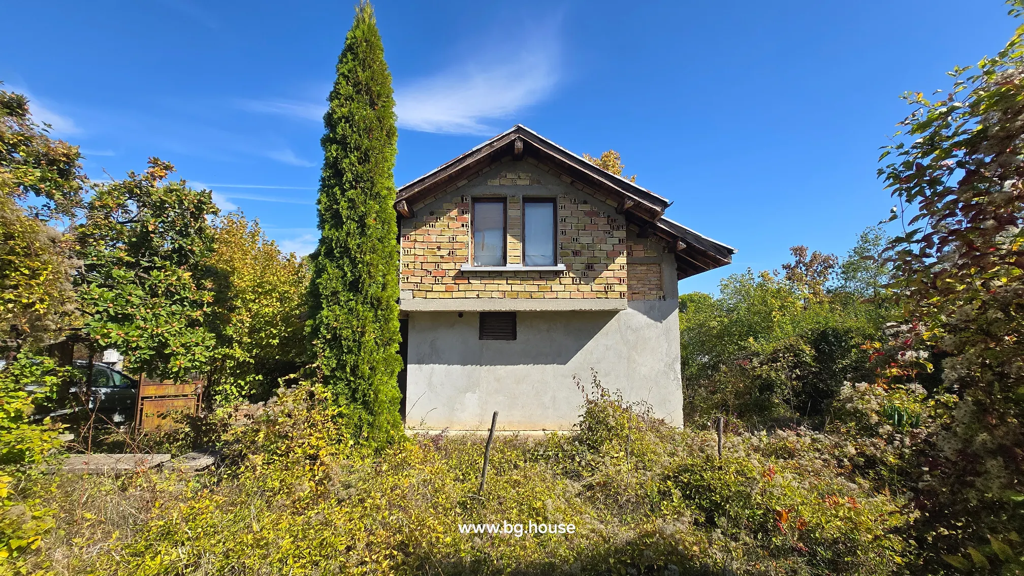
Open View Farm Barn - Bulgarian Farm for Sale in Palamartsa Village
Palamartsa, Targovishte, Bulgaria
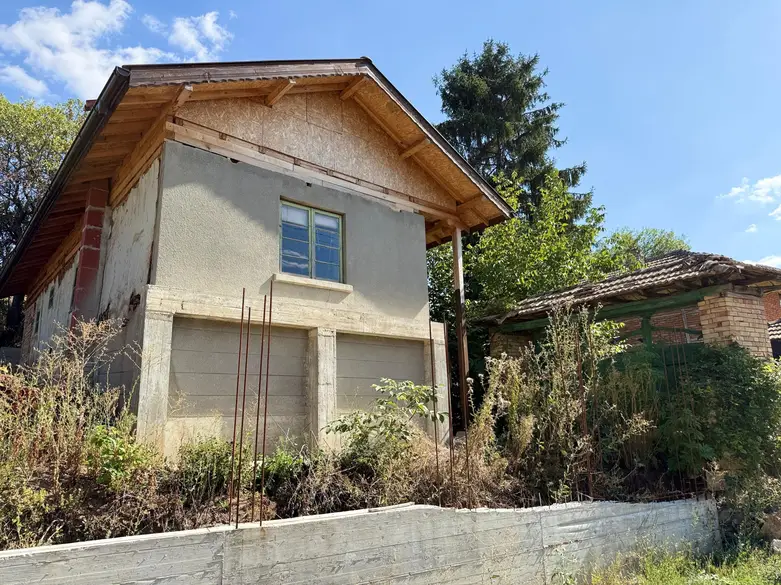

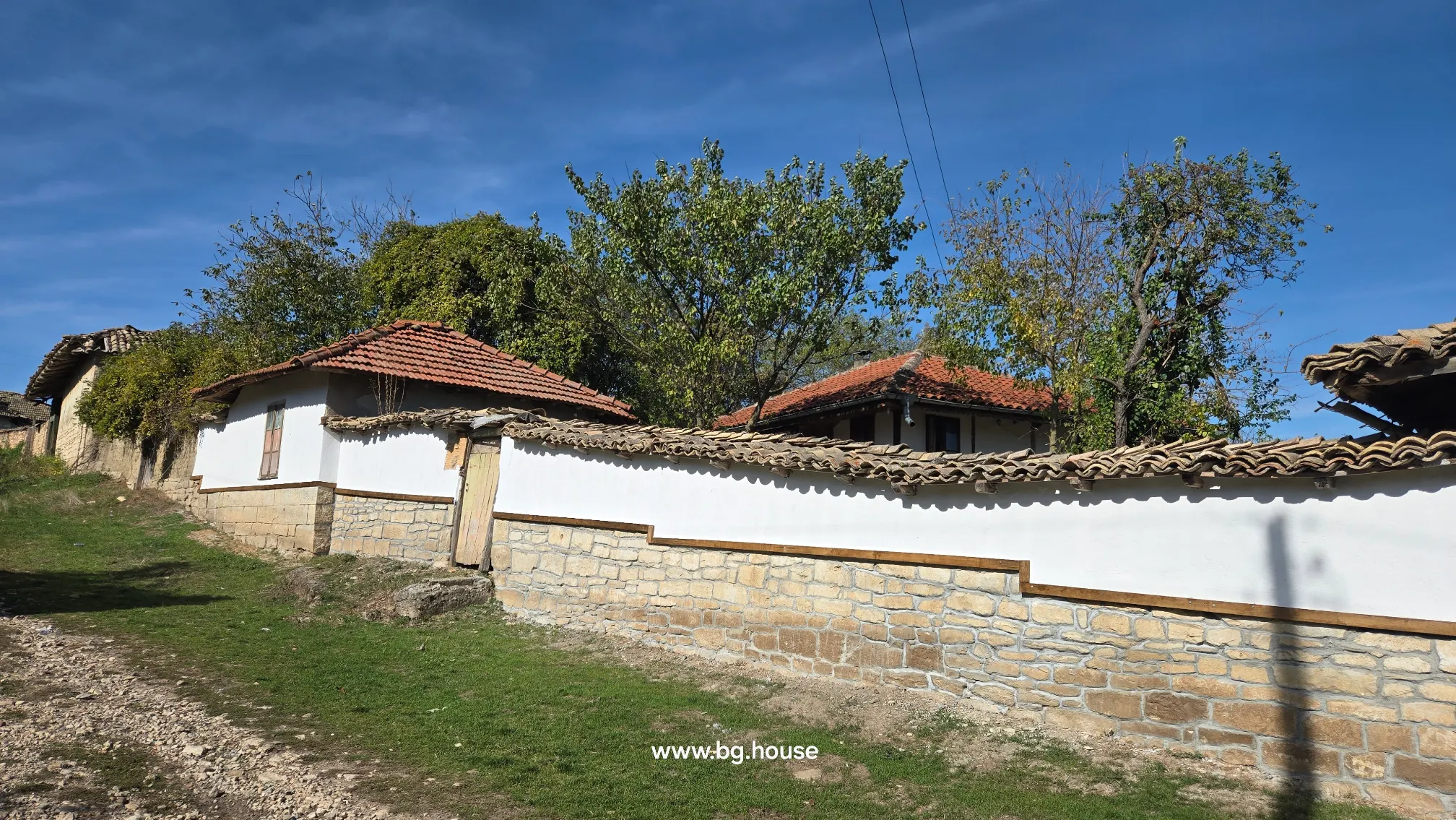
New Roof House - Bulgarian House for Sale in Osikovo with Large Land
Osikovo, Targovishte, Bulgaria
Search results use the advertiser’s supplied location. Confirm the precise settlement before arranging a viewing.
Place facts
- District
- Targovishte · TGV
Explore this area (5)
Targovishte district: five towns, village landscapes and places to explore
A useful first map of the district
Begin with the place names, rather than a promise about rural life. A district guide is most useful when it helps you decide where to spend time. Here, the different towns, museums and landscapes offer several starting points for an exploratory journey before you arrange individual property viewings.
The NSI administrative table for the end of 2025 records five municipalities in Targovishte district, with five towns and 189 villages. The municipalities are Antonovo, Omurtag, Opaka, Popovo and Targovishte. Together, the towns and villages make 194 settlements. Targovishte therefore has three meanings in an address: the town, its municipality and the wider district. A house in another municipality of the district is not automatically a house near Targovishte town. [1]
This part of north-eastern Bulgaria meets the Danubian Plain to the north and the Fore-Balkan to the south. Ruse, Razgrad, Shumen, Sliven and Veliko Tarnovo are the neighbouring districts. The regional geographical account names the Cherni Lom, Vrana and Golyamata rivers and describes both plains and hills. The I-4 road is one of its main transport corridors. These are useful landmarks for reading a regional map; they do not give a journey time from a particular village. [2]
Targovishte: a school and a much older settlement
The town’s educational history has a tangible landmark in the school of Saints Cyril and Methodius and their five disciples, usually called Slaveykov School. Residents built it in 1863, when the town was known as Eski Dzhumaya. Teachers Spiridon Gramadov and Yanko Devetakov promoted the project; Petko Slaveykov, briefly a teacher here, helped shape the interior. The building later accommodated secondary education and remained a working school until 1959. Its story connects the town’s nineteenth-century trading life with local ambitions for education. [3]
Misionis takes the story further back. The archaeological site lies in the Parka area, seven kilometres south-west of Targovishte. The museum describes remains from several periods: early Byzantine fortifications and basilicas of the fifth to seventh centuries, an early Bulgarian settlement of the ninth and tenth centuries, and a medieval fortress gateway from the twelfth to fourteenth centuries. More than 120 decares lay inside the fortified enclosure. These layers explain why Misionis deserves attention as a settlement with a long history, rather than simply a ruined castle. [4]
Popovo: a town’s story in buildings and collections
Popovo’s museum grew from an archaeological society established in 1927. Its first exhibition opened in the community centre in 1957; the collection gained History Museum status in 1991. The main museum building has its own sequence of uses: constructed for district administration in 1883, it became a secondary-school building in 1920 and was assigned to the museum in 1975. The separate Mara Taseva house holds an ethnographic exhibition about Popovo’s transition from village to town, giving domestic history a place alongside archaeological finds. [5]
That makes Popovo a useful stop when your search includes its surrounding villages. Combine an appointment with time to understand the town itself, rather than treating it only as a landmark on the way to a house.
Omurtag: rooms that preserve another town’s past
Omurtag’s museum occupies three restored buildings, including Ivanka Hadzhiykata’s house. Archaeology and ethnography displays introduce the surrounding area. [6]
Opaka’s villages and the writing at Krepcha
Krepcha’s rock monastery, in Opaka municipality, brings a different kind of building into the district’s history. Its rooms were cut into limestone about two kilometres from the village centre. A dated Cyrillic inscription records a death in October 921; another inscription, without a date, refers to Father Antoniy and warns against using the church as a granary. Archaeologist Kazimir Popkonstantinov studied the inscriptions. Their significance lies in surviving written evidence from the early medieval period, not in a claim that the Cyrillic alphabet was invented in this village. [7]
Arrange a visit through current local information. An old account of collecting a key is useful history, but it is not a reliable instruction for entering the site today.
Antonovo and the wooded country around Yastrebino
Yastrebino reservoir lies in the north-eastern part of Antonovo municipality. The municipal environmental account identifies it as the district’s largest reservoir and describes its water-supply role for Antonovo and Omurtag. The same account records mixed broadleaf woodland, including oak, beech, hornbeam, ash and maple, with planted pine stands as well. It also identifies clay deposits around Erevish, Orach and Malogradets. Water, woodland and the underlying geology provide a more concrete introduction to this part of the district than an undifferentiated description of countryside. [8]
A reservoir in the landscape does not establish the condition of a house’s water connection. Check the address-specific supply and any current restrictions separately.
Look more closely at the natural places
The environmental inspectorate’s Targovishte register identifies Urumovo Lale, a protected locality on steep, limestone-rich ground in the territories of Paydushko and Targovishte. It protects a wild tulip represented by yellow, red and mixed-colour forms. Bozhur Polyana, in the territories of Vardun and Strazha, protects peony, cowslip and other species. The small waterfall in Boaza is another listed feature: water from an underground tributary of the Vrana emerges at the rock surface. These are named places with specific conservation purposes, not interchangeable picnic sites. [9]
An agricultural landscape, with different local rhythms
A dated harvest report gives a practical glimpse of regional farming. On 7 July 2026, a regional agriculture official told BTA that barley harvesting was under way in Popovo, Targovishte and Opaka, while Antonovo and Omurtag had not yet started. Wheat harvesting was also at different stages, with recent rain and grain moisture affecting progress. The figures named Popovo and Targovishte as having substantial wheat areas. This is a snapshot of one season, illustrating local variation rather than a forecast for future harvests. [10]
Use the municipality and settlement pages to narrow your search, then compare the actual adverts. Keep asking prices separate from completed-sale values. Before travelling, confirm the advertiser’s reference, exact village and availability; leave time to see the surrounding place as well as the property.
Editorial review: 2026-11-15
Sources and dates
НСИ / National Statistical Institute · EKATTE · Registry snapshot: 2026-10-24.
- Administrative and territorial division of Bulgaria, 2025: table 1 · National Statistical Institute · 2026-11-15
- Targovishte district: regional overview · Ministry of Interior, Targovishte · 2026-11-15
- Slaveykov School, Targovishte · Ministry of Tourism · 2026-11-15
- Misionis: the archaeological site · Regional History Museum, Targovishte · 2026-11-15
- History Museum: municipal account · Popovo municipality · 2026-11-15
- History Museum, Omurtag · Omurtag municipality / Miroslav Toshev · 2026-11-15
- Krepcha rock monastery: report of 21 May 2019 · Bulgarian News Agency · 2026-11-15
- Ecology and natural resources · Antonovo municipality · 2026-11-15
- Protected territories in Shumen and Targovishte districts · Regional Inspectorate of Environment and Water, Shumen · 2026-11-15
- Barley and wheat harvest in Targovishte district, 7 July 2026 · Bulgarian News Agency · 2026-11-15