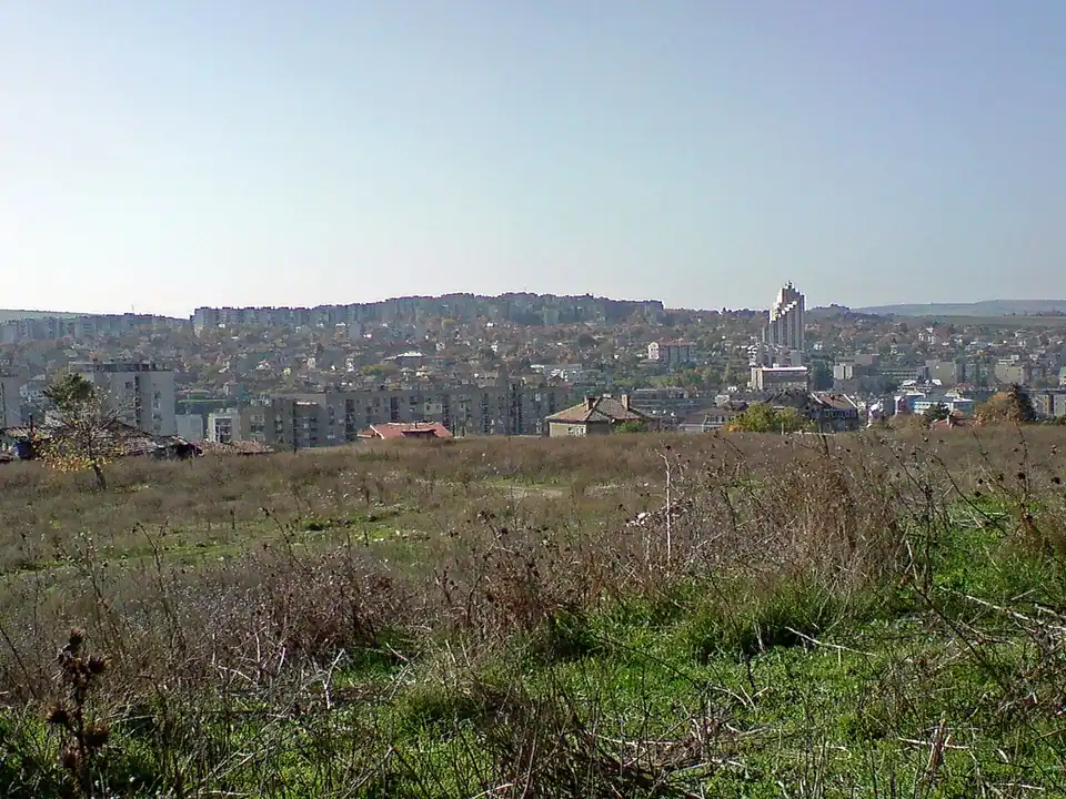

Razgrad district: the Ludogorie, seven municipalities and where to start
One name on three different maps
Razgrad can mean the district, the municipality around the district capital, or the town itself. This guide covers the district in northeastern Bulgaria. The National Statistical Institute’s administrative table for the end of 2025 records seven municipalities and 103 settlements: six towns and 97 villages. The figures describe the administrative map. In particular, a municipal centre can be a village: Samuil is both the name of a municipality and the name of its principal village. [1] [2]
The seven municipalities are Razgrad, Isperih, Kubrat, Loznitsa, Samuil, Tsar Kaloyan and Zavet. Each covers its own group of settlements. Isperih, Kubrat, Loznitsa, Tsar Kaloyan and Zavet each have a town of the same name as the municipality. Razgrad is the sixth town and the district capital. The names in the directory refer to administrative units; Ludogorie is the geographical name you encounter in accounts of the wider landscape. [2] [1] [3]
When searching from abroad, save the municipality alongside the village’s Bulgarian name and the map pin. A heading that says “Razgrad” gives you a starting area. Once you have an address, switch your search to the settlement and compare the advertised pin with the road you would take to get there. This is also a good moment to ask which office deals with planning questions if you are considering building or extending. The exact property address will matter more than the district label.
The plateau and the river corridor
Much of the district lies on the Ludogorie plateau in the northeastern part of the Danubian Plain. Around the capital, the Beli Lom cuts through hilly country; Razgrad itself sits in its valley. The municipality’s geographical account describes open stretches of valley near the town and more deeply cut sections farther downstream towards the Ruse district boundary. The plateau and the valley help explain why a visit to the district may involve quite different settings within a relatively small part of northeastern Bulgaria. [3] [4]
Razgrad’s municipal geography identifies the E70 as the road corridor towards Ruse and Varna. The Ruse–Varna railway also crosses the municipality, and the municipal account places the railway away from the central urban area. Those two lines on the map are useful for orienting a trip through the district. They describe infrastructure: a stop on the route or a connection from it needs to be checked separately for the particular village and day. [4]
Build a trial itinerary from things you actually do: a weekday return from work, a supermarket trip, a visit to a clinic or a Saturday delivery to the house. If you plan to use the train, include the trip between the station and the property. For a plot on the edge of a village, ask the advertiser to meet you at both the gate and the turn from the main road. A visit in poor weather can be more informative than a second sunny viewing.
Abritus and Sboryanovo are separate visits
Abritus lies near the modern district capital, where the Regional Historical Museum interprets a Roman urban site. A battle against the Goths in the vicinity in AD 251 killed Emperor Decius and his co-emperor and son Herennius Etruscus. The fortifications that visitors can learn about belong to a different moment: the museum dates the great walled enclosure to the early fourth century. Outdoor archaeology, stone exhibits and the interactive museum offer different ways into the story of the place. [5]
Near Sveshtari in Isperih municipality, another site tells a much earlier story. UNESCO inscribed the Thracian Tomb of Sveshtari in 1985 and records a minor boundary modification in 2025. The carved female figures inside and the painted and sculpted programme are evidence of the funerary art of the Getae and their contact with the Hellenistic world. The tomb is part of the Sboryanovo archaeological reserve, a wider landscape of burial mounds and remains from several periods. The single inscribed monument and the wider reserve cover different areas. [6] [8] [2]
Allow time for both locations if archaeology is one of your reasons for visiting. Check the two operators’ current visitor arrangements, especially if a group includes someone who needs level access or if you are travelling outside the busy season. Heritage descriptions and designation maps can also alert a buyer to questions about a nearby plot. Ask the relevant office to confirm what applies to the parcel identifier on the deed before relying on an advertiser’s plans for an extension.
What the first property visit should settle
Compare one address in a town with one in a village you could see yourself living in. Write down which rooms could be used immediately, how each would be heated, where water and wastewater connections are documented, and where a tradesperson could park. For a village house with several structures, ask which buildings are recorded and which are simply visible on the ground. If one home relies on an arrangement with a neighbour, such as access across a yard, find out how that arrangement is recorded before you count it as part of the property. Take the answers and supporting documents to a local professional for a property-specific check.
Editorial review: 2026-11-16